In boating, knowing where you are, where you’re going, and how you will get there is crucial. In the world of Jet Skis, a GPS gadget is one of the most critical items you’ll need. Never head out on the water without your jet ski’s GPS.
The ideal Jet Ski GPS would be lightweight, have a long-lasting battery, and be simple. Choosing the most suitable jet ski GPS is a challenging task. Today’s GPS devices come in various confusing options, prices, and functionality.
Here are our top recommendations for finding the best GPS for your Jet Ski.
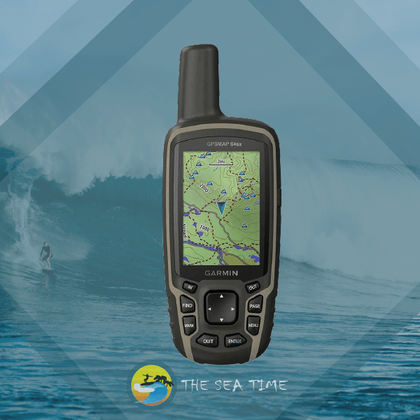
Garmin GPSMAP 64sx, Handheld GPS with Altimeter and Compass
It should come as no surprise that marine GPS units manufactured by Garmin are among the best in the industry.
Product Description
The 64SX is an excellent personal watercraft (PWC) GPS for jet skis, wave runners, and other personal watercraft. It fits easily in your pocket, is easy to operate, and has excellent battery life. The GPSMAP 64sx handheld navigator will guide you through your next expedition. Additionally, multi-GNSS compatibility and Topo Active mapping are now available for the series.
Product Features
- sunlight-readable 2.6″ colour screen; rugged, water-resistant construction.
- You can always keep track of your whereabouts thanks to the high-sensitivity receiver, quad helix antenna, multi-GNSS compatibility (GPS, GLONASS, and Galileo), and 3-axis compass with barometric altimeter.
- The GPSMAP 64sx and GPSMAP 64csx provide wireless communication using BLUETOOTH and ANT+ technologies.
- Battery life is up to 16 hours while using GPS.
- A resistance to wear and moisture.
- Smart notifications
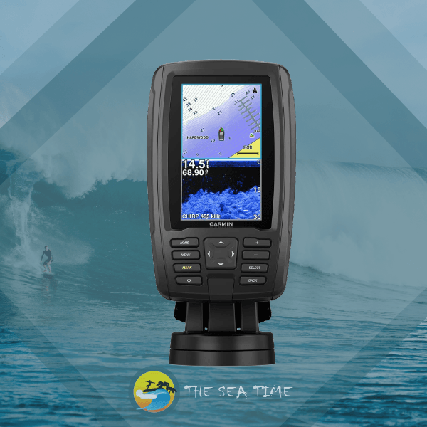
Garmin ECHOMAP Plus 43cv
Product Description
There are several built-in conveniences to this small set. In addition to being simple to set up and use, the 4.3-inch screen is clear and bright, making it ideal for use on the water, even on a sunny day. For traditional Garmin CHIRP sonar with exceptional target separation, there’s a GT20 transducer, and for scanning sonar with near-photographic views of what’s underneath the boat, there’s CHIRP ClearVü. More than 17,000 lakes are mapped out to as satisfactory a resolution as 1′ on the included LakeVü g3 maps, which also include Navionics data.
Product Features
- The combined 4.3″ screen is bright and easily legible in direct sunlight.
- Includes GT20 transducer for Garmin CHIRP traditional sonar plus CHIRP Clear scanning sonar with transom and trolling motor mounts.
- More than 17,000 lakes are already mapped out at a resolution of 1′ on the Lake g3 with integrated Navionics data.
- In-app Quickdraw Contours mapping software allows the creation of custom, on-screen fishing maps complete with 1′ contours in real-time.
- Transmit locations and routes to nearby ECHOMAP or STRIKER devices.
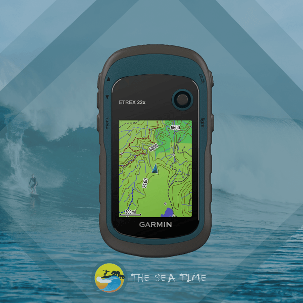
Garmin eTrex 22x, Rugged Handheld GPS Navigator, Black/Navy
Product Description
The eTrex 22x comes with Topo Active maps preloaded and the user-friendliness, ruggedness, and low cost for which the eTrex family of portable GPS devices is known. These gadgets can benefit all-terrain vehicles, bicycles, boats, and hikes.
Product Features
- Travel with assurance, thanks to the GPS receiver in your hand.
- A sun-visibility-optimized color display of 240 by 320 pixels on a 2.2-inch screen.
- When the GPS and GLONASS satellite systems are supported, the location may be determined in places where GPS alone would struggle.
- There’s a microSD card slot and 8 GB of onboard storage for storing downloaded maps. With 2 AA batteries, it can run for up to 25 hours in GPS mode.
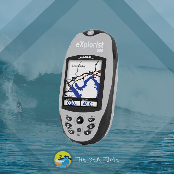
Magellan eXplorist 500 Water Resistant Hiking GPS
Product Description
The Magellan eXplorist 500’s 16-color display makes it easy to view your location in vivid detail. Detailed street maps, topo maps, and lake maps from Magellan Map Send have readily been added thanks to the high-speed USB data connector and the flexibility to increase storage with a secure digital (SD) card. Because of its compact size and low weight, you can easily carry the eXplorist 500 wherever you go. You may transfer caches from your computer to your eXplorist 500 with the aid of Magellan Geocache Manager, and the device’s PC-like file system makes it simple to organize all of your data. Having 8 MB of preloaded maps and a user-friendly UI makes it simple to get going with navigation straight away. An additional 8 MB of internal memory allows you to save 5 track log files, 20 routes, and 500 points of interest. At the same time, external SD cards will enable you to keep an unlimited amount of data.
Product Features
- Compact, USB-compatible, portable GPS with 16 MB of storage
- Maps showing highways, parks, lakes, and more span the whole continent of North America and take up an impressive 8 MB.
- Secure Digital (SD) card expansion for online or disc-based map updates is unlimited.
- 16-color LCD screen with high contrast backlighting and a lithium-ion battery pack for continuous use between charges.
- Product dimensions are 2.2 x 4.7 x 1.3 inches; the warranty period is 1 year.
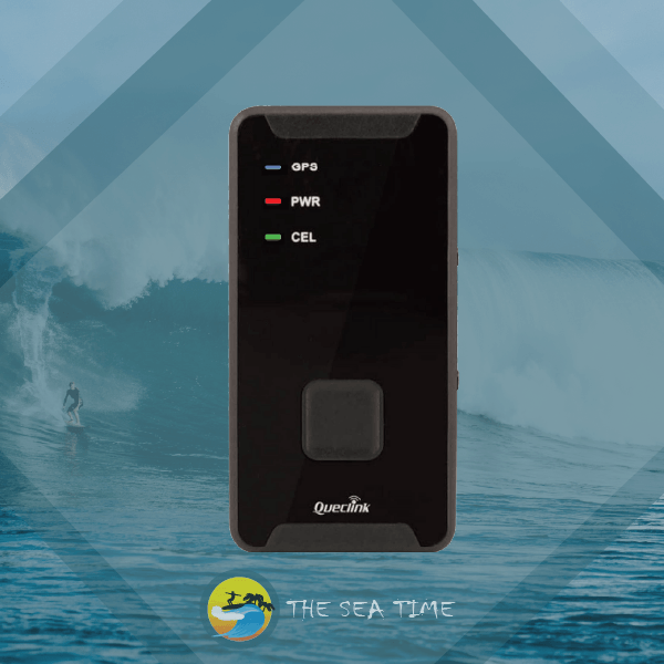
AMERICALOC 300 Mini Portable Real Time Personal and Vehicle GPS Tracker
Product Description
GPS tracking device. Condensed and diminutive in size. It is simple to transport in automobiles, pockets, backpacks, and other bags, cartons, and containers. Rechargeable battery. This GL300W is geared up and ready to go to work. You are able to create and set custom zones that are circular as well as more sophisticated. In addition to recording and storing events, the system will provide you with the ability to set up e-mail notifications tailored to particular occurrences. In the box you will get the GL300 w tracker, a wall charger, a sim card (already inserted), and instructions for activating the device. We give a global sim card so that you can track your devices in the United States of America, Canada, Europe, and pretty much everywhere else in the globe. There are no contracts. There is no price for activation. No cancellation fees. You should only pay for a plan if you actually use it. As is the case with other GPS receivers, it will function more effectively if there are no obstructions between it and the open sky. This is especially true if the obstructions are composed of metal or concrete. Locate your device using your desktop computer, mobile device, or tablet.
Product Features
- A brand-new iteration of the renowned GL300 model. The service costs USD 25 per month, or less if more time is purchased at once.
- This is the version with the most extended possible battery life and the only one compatible with CAT M1 Technology. There are no hidden or activation costs. Prepared to be used. Extended battery life and enhanced coverage are also included.
- Real-time tracking in addition to a tracking history going back one year. You can keep track of your whereabouts using any computer, tablet, or phone, or just download our app for Android or iOS.
- Updates to your position every minute while you are moving. It may update its position every 60, 30, or 10 seconds at no additional charge and can be customized. This is the most up-to-date version, which has CAT M1 Technology.
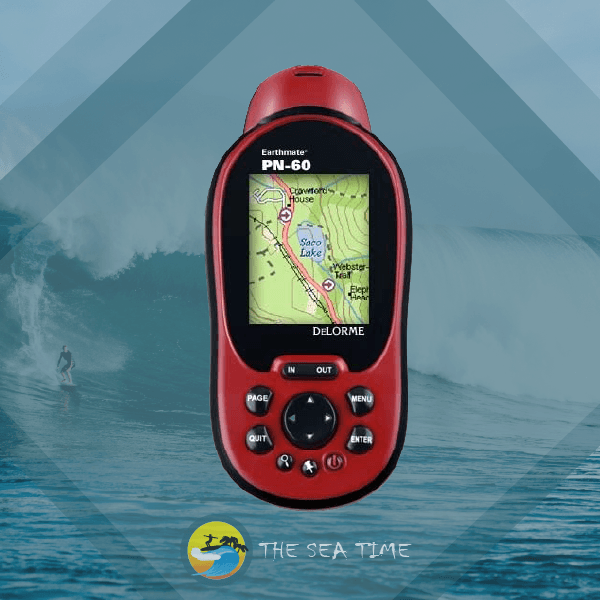
DeLorme Earthmate PN-60 Portable GPS Navigator
Product Description
The Earthmate PN-60 is a sturdy and dependable GPS navigator with the latest GPS technology and DeLorme’s industry-leading map and aerial imagery displays. The DeLorme Topo North America desktop and GPS maps contain detailed information for all your favorite U.S. and Canadian outdoor pursuits. Additional USGS and Canadian topo maps, aerial photography, nautical charts, and more may be found here.
Product Features
- Electronic barometer and compass with three axes of rotation.
- Batteries can maximize their usefulness with a power management system with a light sensor.
- Swap Out GPS Data on SD Cards (including waypoints, tracks, and geocaches)
- Unrivaled Map and Imagery Choices
- Memory accessible to the user: 3.5 GB
